Start with Aṉangu guidance
Use the Cultural Centre and current park instructions before setting photo or walking objectives.
Regional field guide
Build a culturally respectful Red Centre trip with separate Uluṟu and Kata Tjuṯa walking blocks, a Yulara transport plan and a distinct Watarrka road-and-heat decision.
Compare your optionsFirst decision
Use Yulara for Uluṟu-Kata Tjuṯa, where the Cultural Centre and current Aṉangu photography rules shape the visit. Give Kata Tjuṯa its own cooler-hour outing. Add Watarrka only when a separate early Kings Canyon walk, road journey, overnight and NT Parks pass fit. The two parks have different authorities and passes; a Uluṟu booking is not a Watarrka access plan.
Choose the real trip block
Walking difficulty, cultural obligations and travel time matter more than the number of Red Centre pins on a map.
| Plan | Best fit | Plan around |
|---|---|---|
| Uluṟu from Yulara | Cultural Centre, base-area walks and approved viewpoints | Federal pass, Aṉangu no-photo and cultural rules, park transport and heat. |
| Kata Tjuṯa outing | A separate cooler-hour lookout or Valley of the Winds walk | Grade 4 terrain on the full route, heat closure and photography restrictions. |
| Watarrka / Kings Canyon | An early rim or creek walk on a distinct road segment | NT pass, sealed-versus-unsealed approach and forecast-based walk cutoffs. |
Planning order
A few early choices prevent most avoidable backtracking.
Use the Cultural Centre and current park instructions before setting photo or walking objectives.
Give Uluṟu and Kata Tjuṯa distinct blocks; Valley of the Winds can close beyond the first lookout in high heat.
The resort shuttle does not replace park transport. Choose a rental vehicle or a dated operator connection.
Choose Kings Canyon Rim or Kings Creek by fitness and forecast, then verify the NT pass, road and overnight base.
Park guides
These pages cover the park-level experience, hazards, and practical arrival decisions.
A first Uluṟu-Kata Tjuṯa visit should begin with Aṉangu cultural protocol and heat management, then separate Uluṟu and Kata Tjuṯa walks into cooler-hour days while treating photography restrictions and cultural closures as part of the route itself.
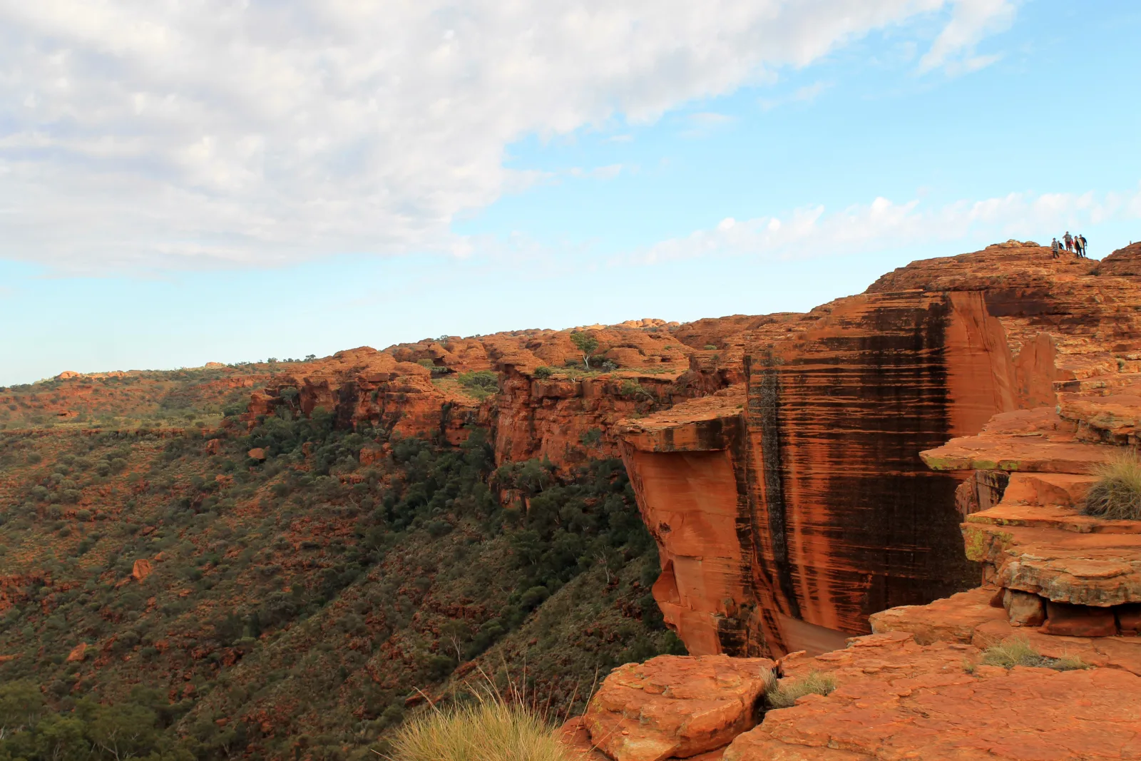
Read the park guidePlan Kings Canyon around the actual walk, forecast heat and road approach. The 6 km clockwise Rim Walk is a steep Grade 4 commitment; the 2.6 km return Kings Creek Walk offers a gentler canyon-floor alternative. Watarrka has its own Northern Territory pass, separate from Uluṟu-Kata Tjuṯa admission.
Read the park guideDecision guides
Access, reservations, overnight bases, and pacing each call for a different choice.
Choose a cultural introduction and one substantial walk per cooler-hour block, instead of treating Uluṟu and Kata Tjuṯa as one continuous photo stop.
Read the guideSeparate the free resort-area shuttle from paid park access, then choose a Yulara base and transport that reaches the actual walks at the right hour.
Read the guideCompare a steep 6 km clockwise canyon-rim circuit with a shorter 2.6 km return walk, using the NT’s real heat-start restrictions.
Read the guideBefore departure
Park bulletins and reservation terms outrank a saved itinerary.