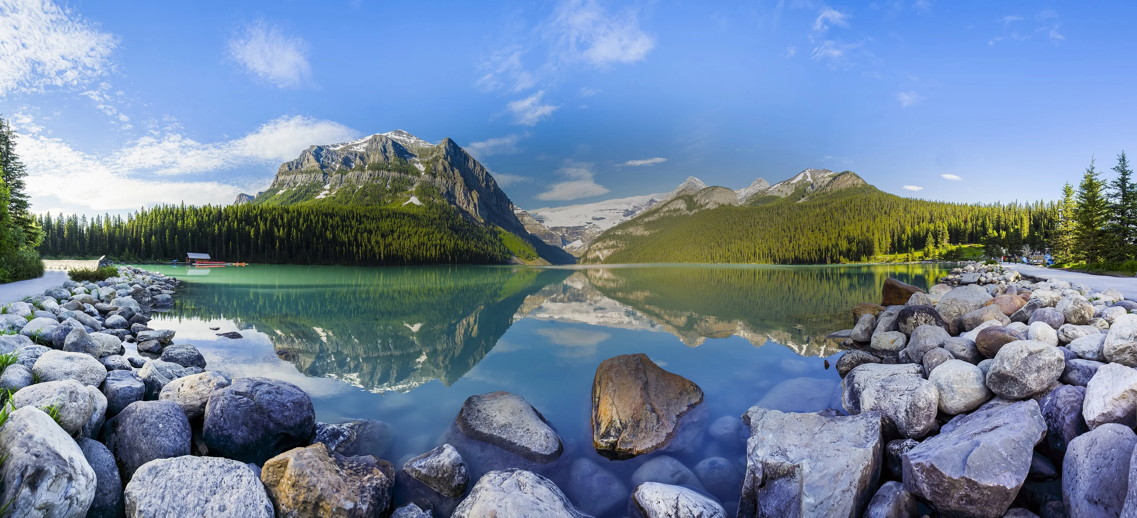
| Banff & Jasper | Late June–September | 6–9 days | Gateway towns, car, and seasonal shuttles | Very high | Moderate | Fast-changing alpine weather and long distances |
|---|
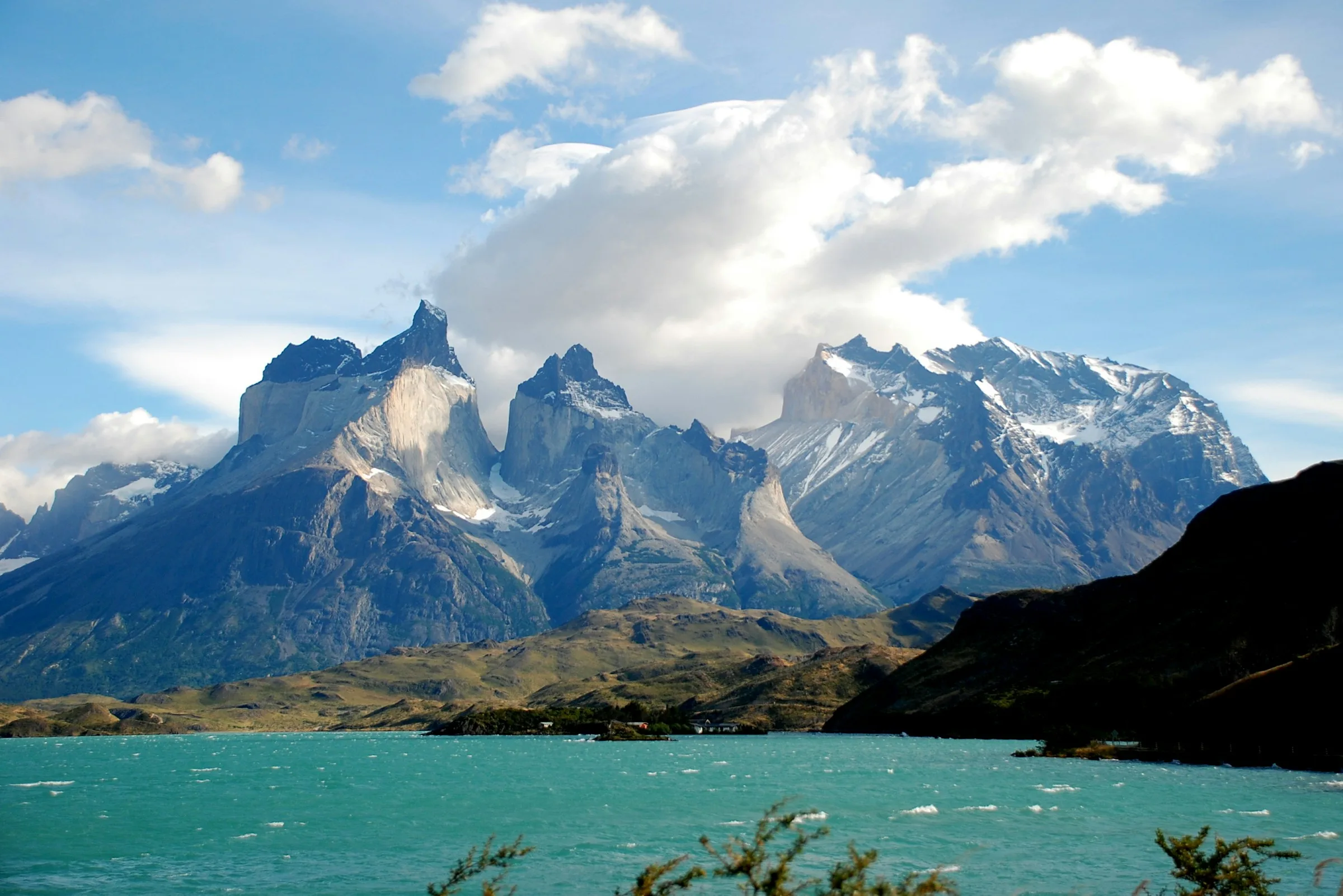
| Torres del Paine | October–April | 4–7 days | Gateway transfer, park bus, or guided circuit | High | Moderate-high | Strong wind and rapid weather shifts |
|---|
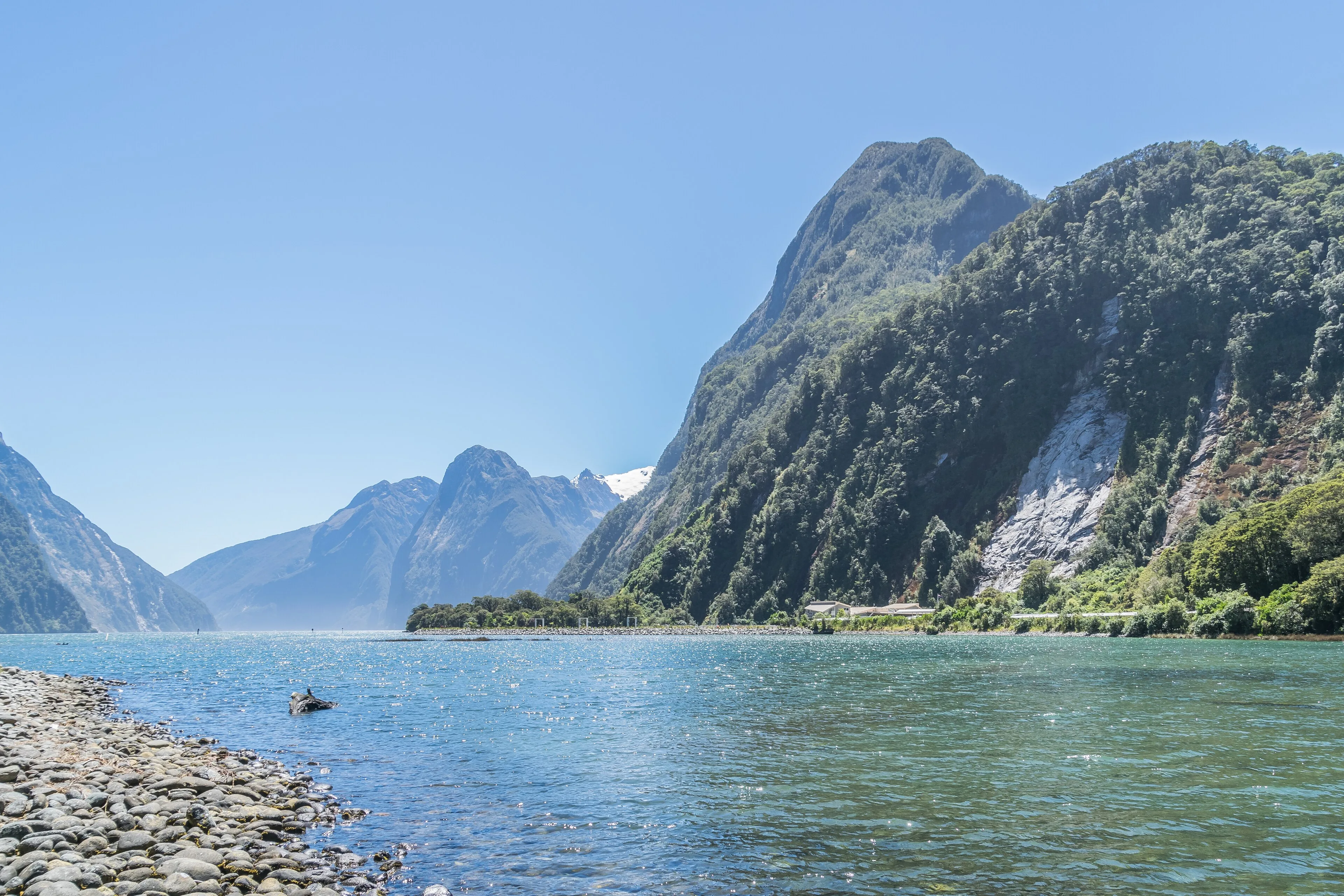
| Fiordland & Milford Sound | November–April | 3–5 days | Scenic road, coach, cruise, and booked tracks | High | Moderate | Heavy rain, road disruption, and cold water |
|---|
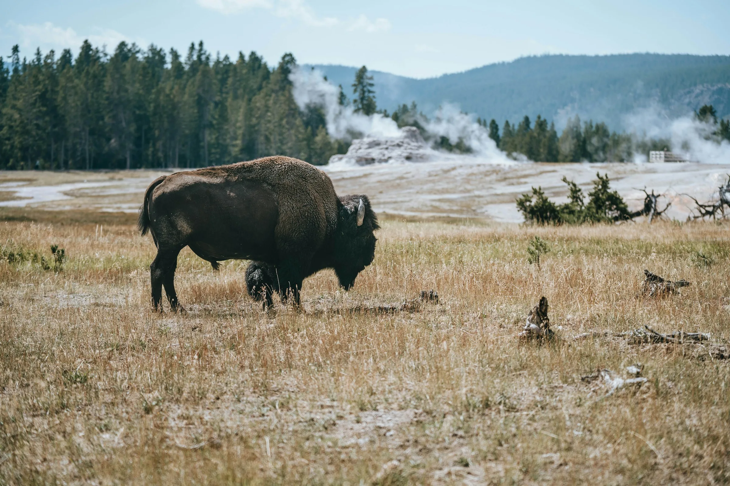
| Yellowstone | Check current NPS road and entrance status for the route and travel date. | 4–6 days | Multi-entrance self-drive park | Very high | Easy-moderate | Wildlife proximity and unstable thermal ground |
|---|
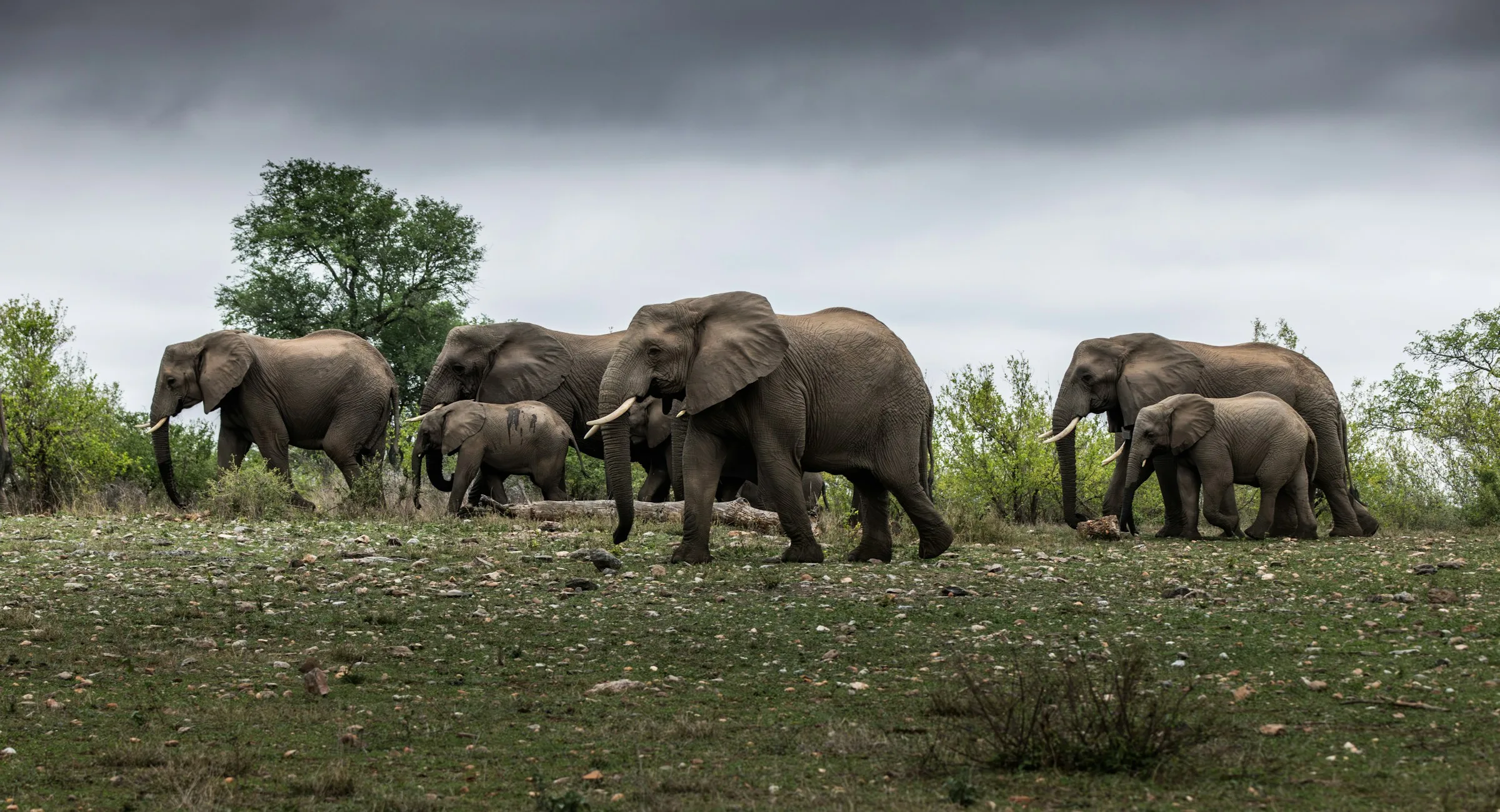
| Kruger | May–September | 4–7 days | Self-drive or guided safari from park camps | High | Easy-moderate | Wild animals, heat, and long driving days |
|---|
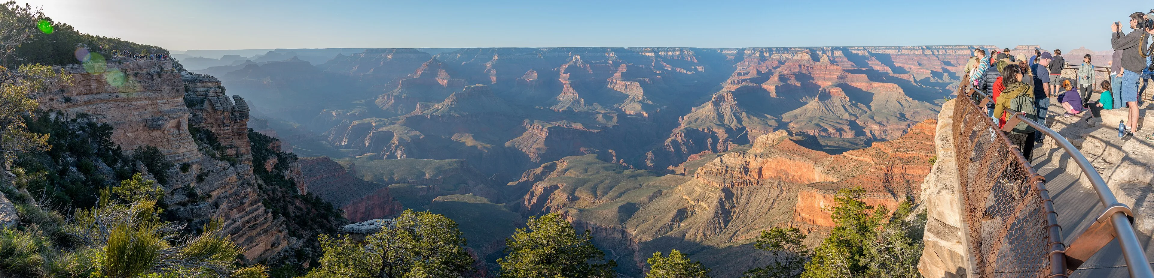
| Grand Canyon | March–May, September–November | 2–4 days | Rim gateways, shuttle, and foot travel | High | Moderate-high | Heat, dehydration, and underestimated ascent |
|---|
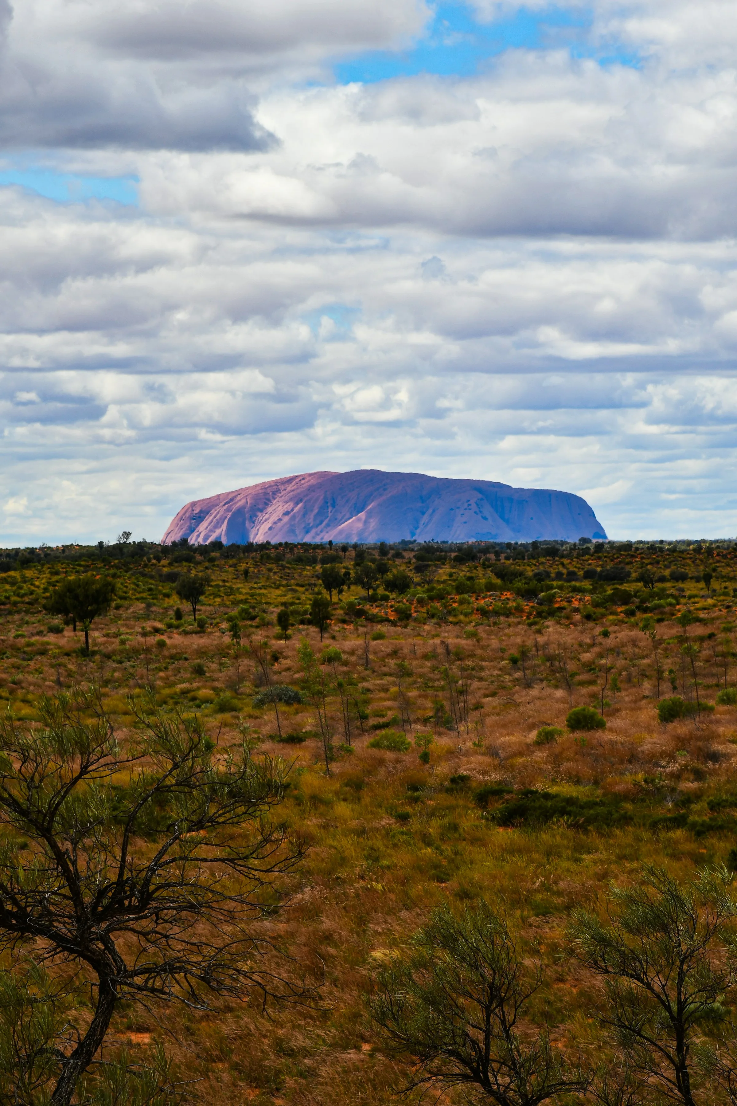
| Uluru-Kata Tjuta | May–September | 2–3 days | Gateway stay with road and marked walks | Moderate | Easy-moderate | Extreme heat and exposure |
|---|
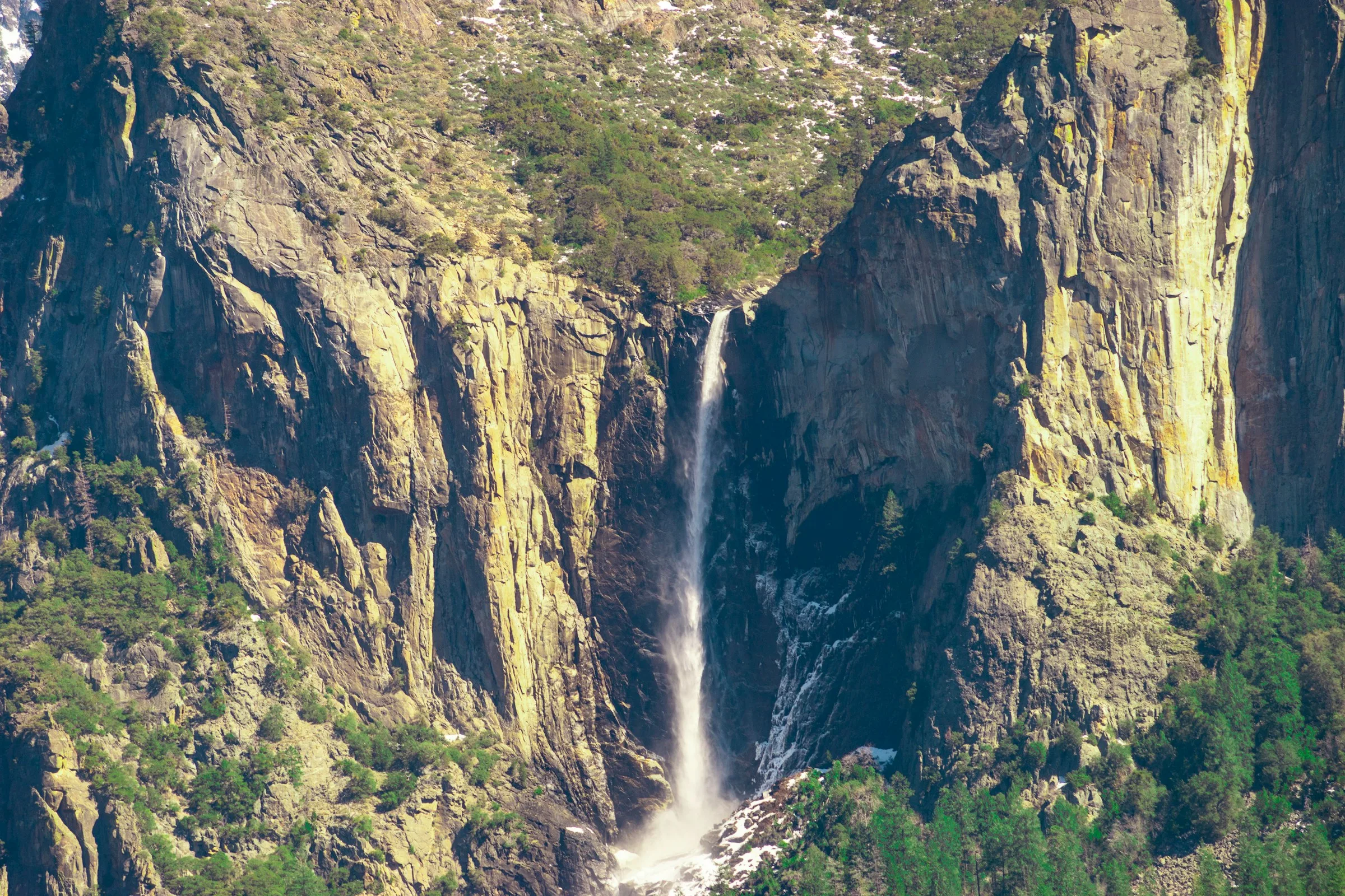
| Yosemite | May–October | 3–5 days | Multiple road entrances and valley shuttle | Very high | Moderate | Steep terrain, cold water, and seasonal road limits |
|---|
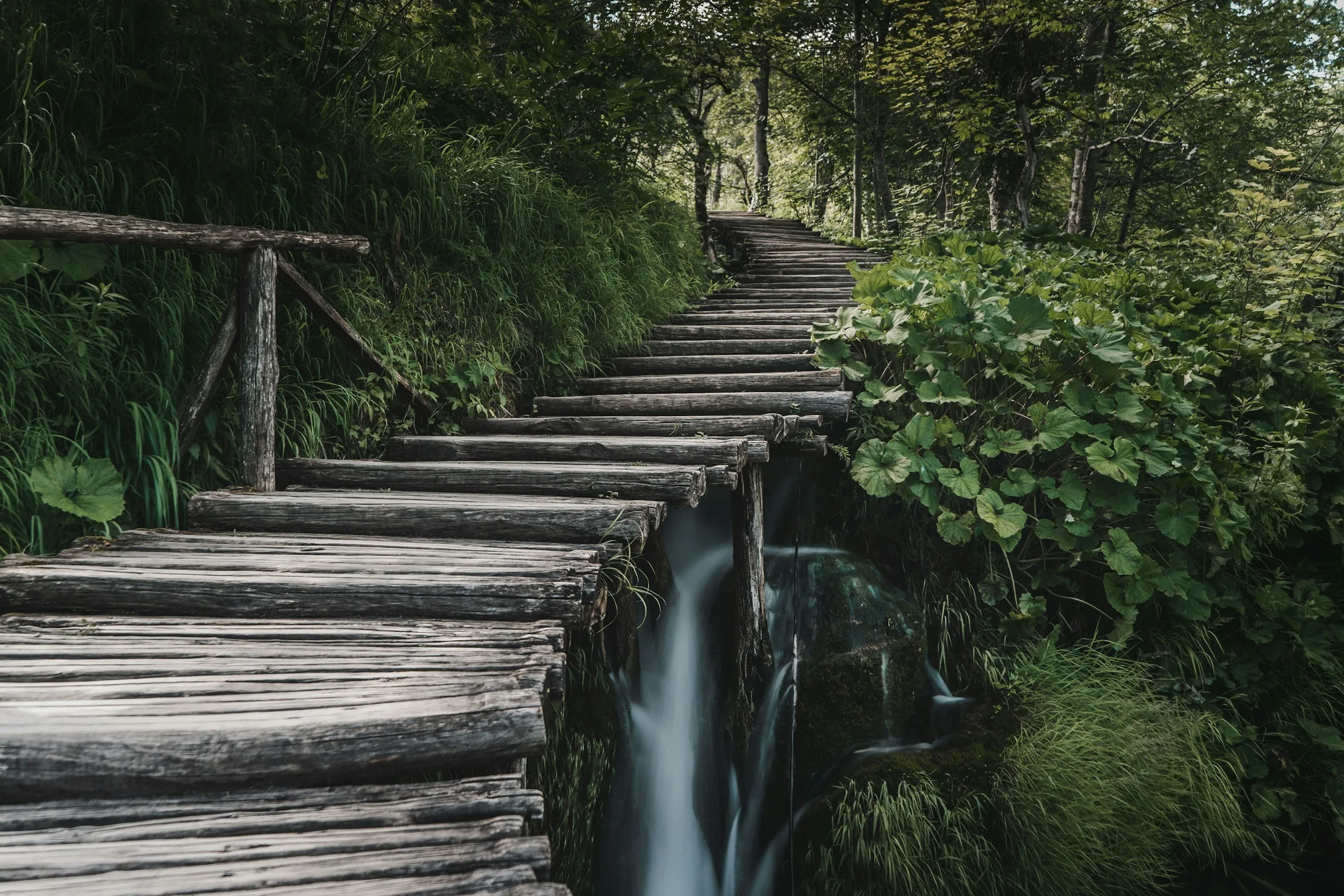
| Plitvice Lakes | April–June, September–October | 1–2 days | Timed entrance, walking routes, boats, and shuttle | High | Easy-moderate | Wet boardwalks and dense visitor flow |
|---|
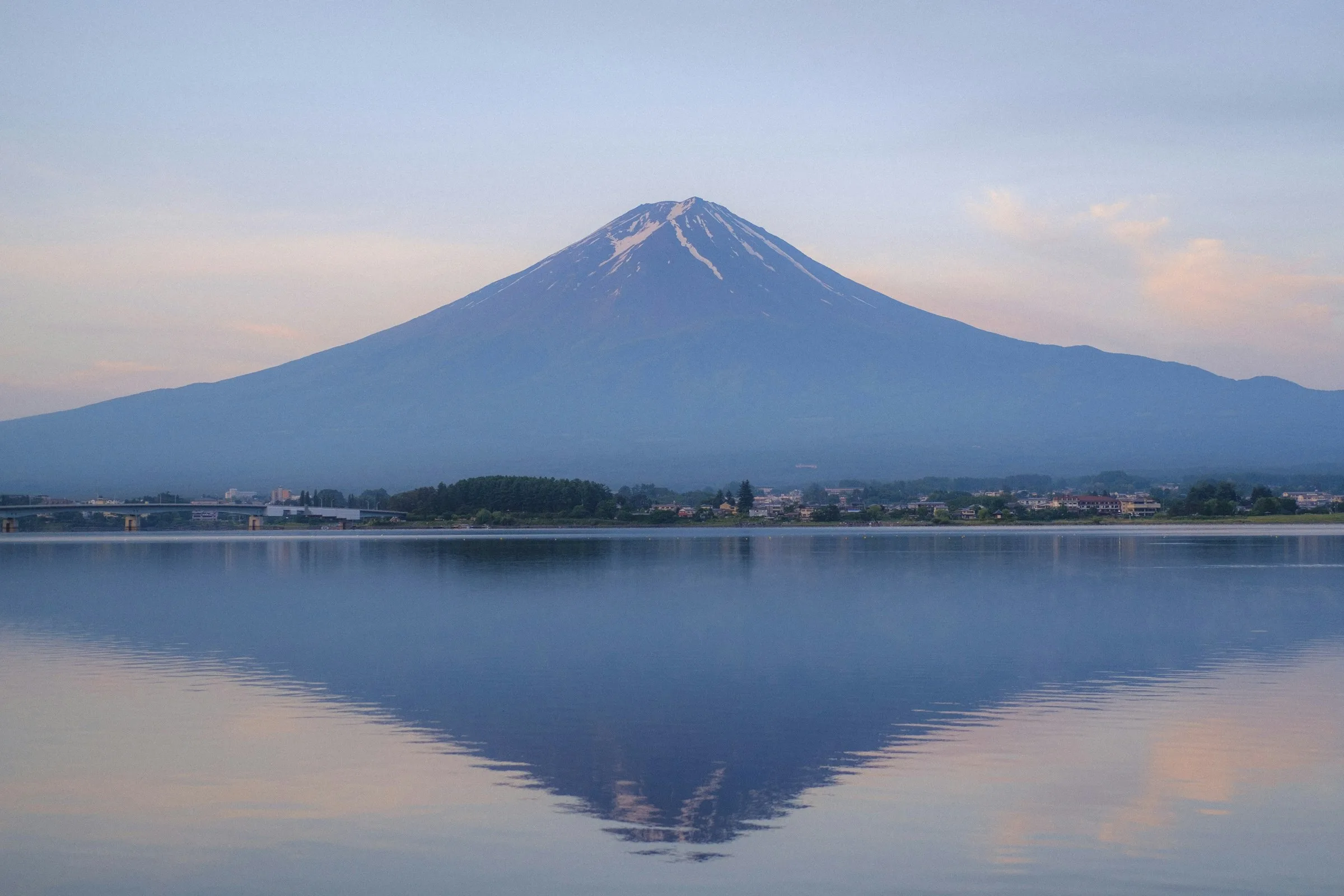
| Mount Fuji | July–early September for climbing; year-round wider park | 2–4 days | Rail, bus, trailhead transport, and marked routes | Very high | High | Altitude, cold, wind, and volcanic terrain |
|---|
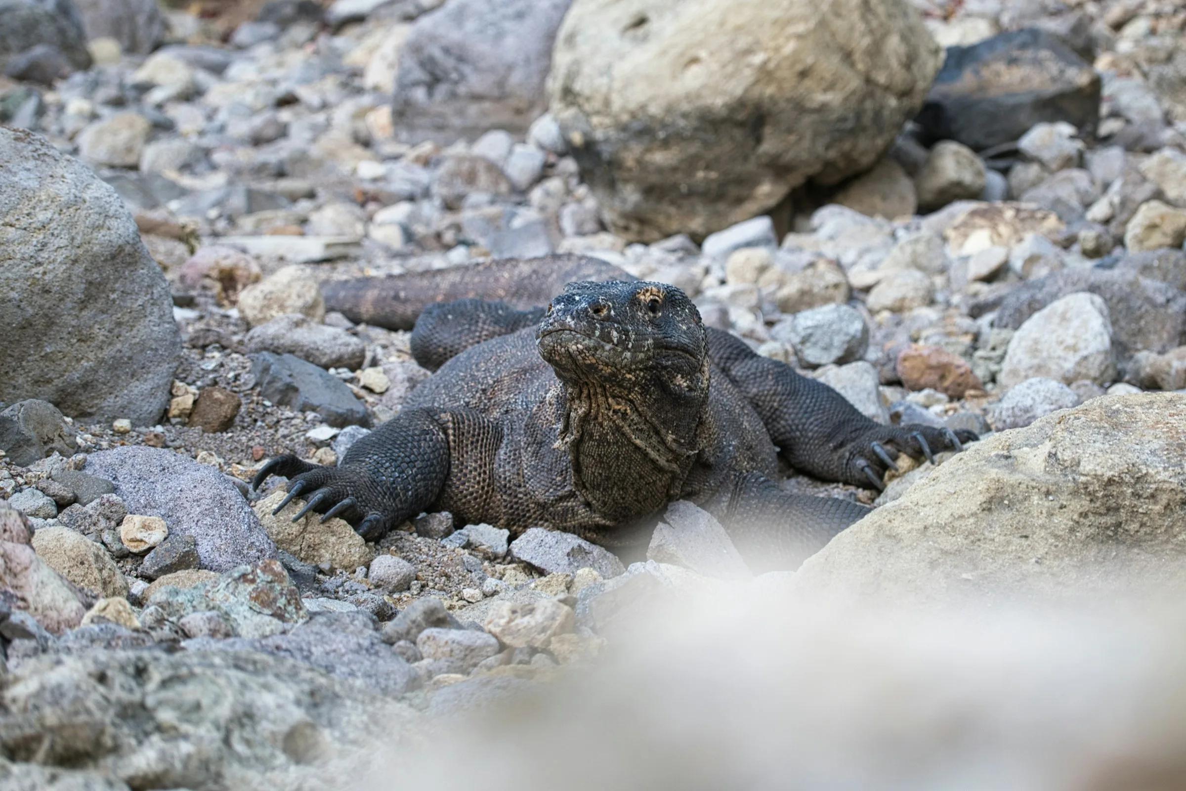
| Komodo | April–November | 3–5 days | Authorized boat itinerary and ranger-led landings | High | Moderate | Wildlife, heat, currents, and remote boat travel |
|---|
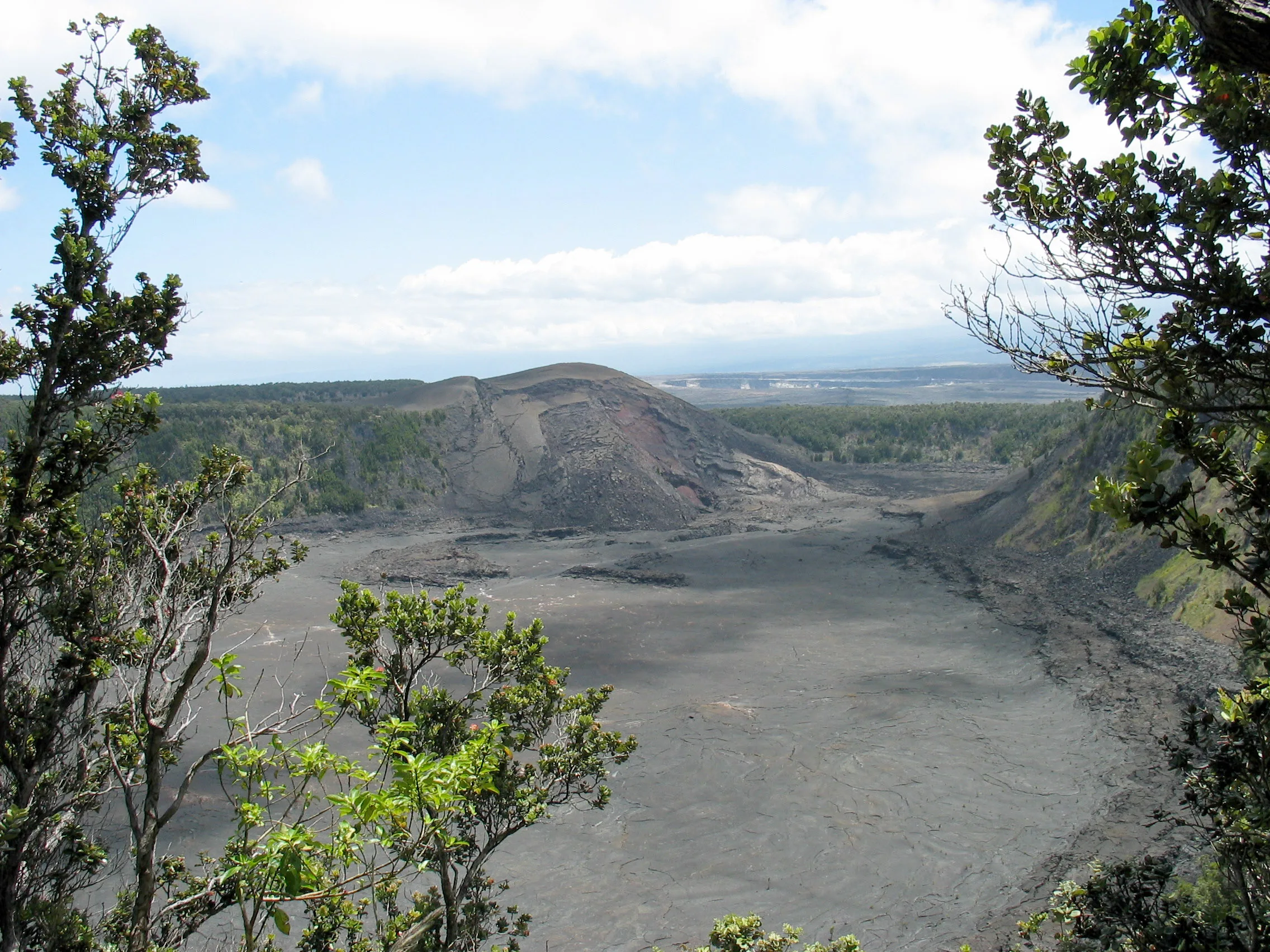
| Hawaiʻi Volcanoes | Year-round; recheck volcano, air-quality, weather, and access conditions | 2–3 days | Self-drive crater and coastal corridors with marked walks and overlooks | Moderate | Moderate | Volcanic gas, unstable ground, sharp lava, changing weather, road closures, and eruption-related congestion |
|---|
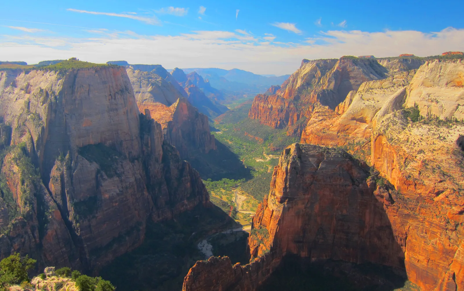
| Zion | Spring and fall are useful starting points for many walking trips, but heat, winter ice, shuttle dates, flash floods, and river conditions can affect every season. Choose the actual trail and then check its current conditions. | Two or three days allow a main-canyon day, a second walking or scenic objective, and a weather alternative. | Walk from a suitable Springdale lodging location; Springdale town shuttle plus pedestrian entry and Zion Canyon shuttle; Rental car for regional travel, not for driving the canyon road during shuttle season | High | Moderate | Flash floods, summer heat, exposed trails, and false assumptions about shuttle or permit access |
|---|
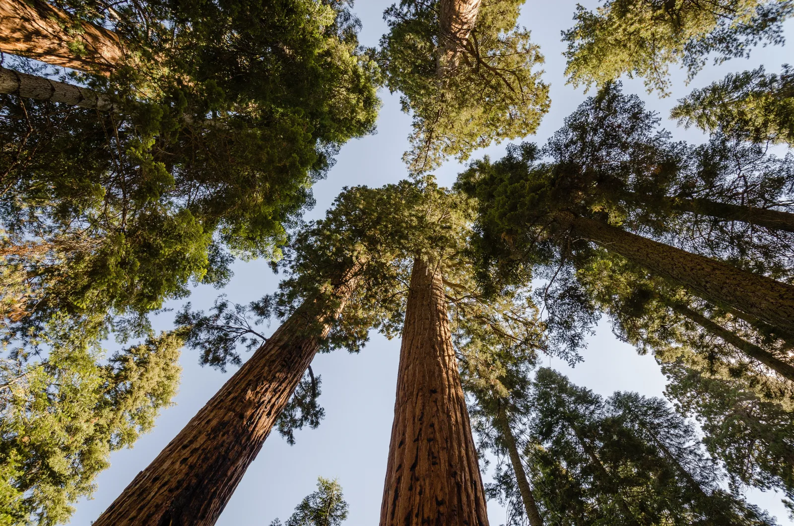
| Sequoia & Kings Canyon | Late spring through fall offers the broadest road and grove planning range, but Cedar Grove access, snow, wildfire and smoke, mountain weather, and shuttle service vary. Confirm the current road and area status for the chosen trip. | Two days for a Giant Forest-centered visit; three or more to add Grant Grove and a separate Kings Canyon objective without rushing mountain roads. | Rental car for moving between Sequoia and Kings Canyon areas; Seasonal in-park shuttles for limited Sequoia Giant Forest and Lodgepole routes; Regional Visalia-to-Sequoia shuttle only when its current service fits the itinerary | High | Easy-moderate | Mountain-road restrictions, seasonal access, wildfire conditions, and underestimated driving between park areas |
|---|
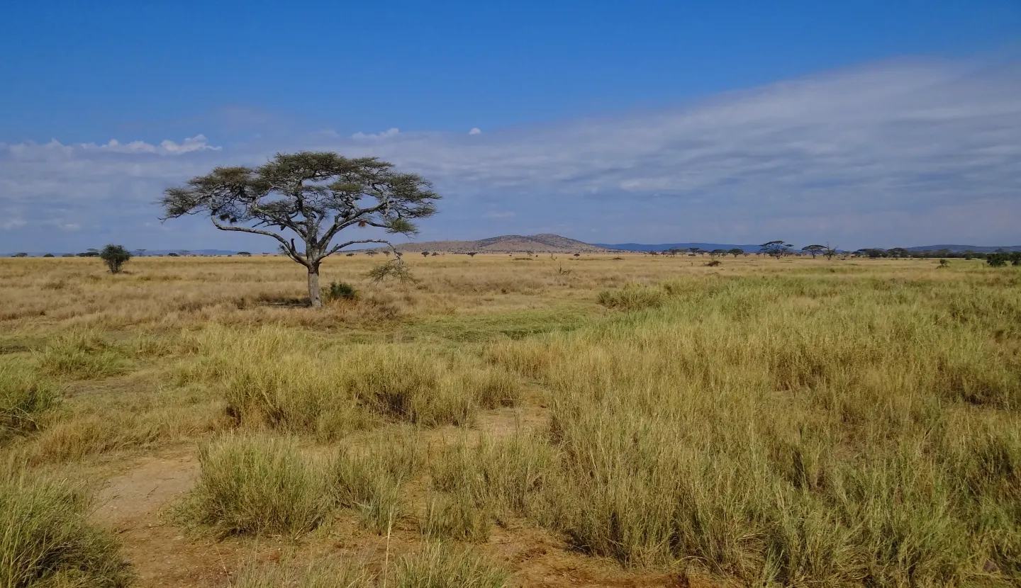
| Serengeti | The park is open through the year, but rainfall, road conditions, camp operations, and wildlife distribution change by place and month. Choose a sector for the trip you can actually take; migration timing is not a fixed booking guarantee. | At least two or three complete wildlife days in a chosen sector, plus the necessary transfer time; add days if combining distant sectors or Ngorongoro. | Prearranged licensed safari operator and guide; Road itinerary from Arusha with a realistic long transfer; Fly-in safari with an airstrip-to-camp transfer arranged in advance | Very high | Easy-moderate | Remote travel, wildlife proximity, heat, seasonal road conditions, and itinerary assumptions based on a promised sighting |
|---|
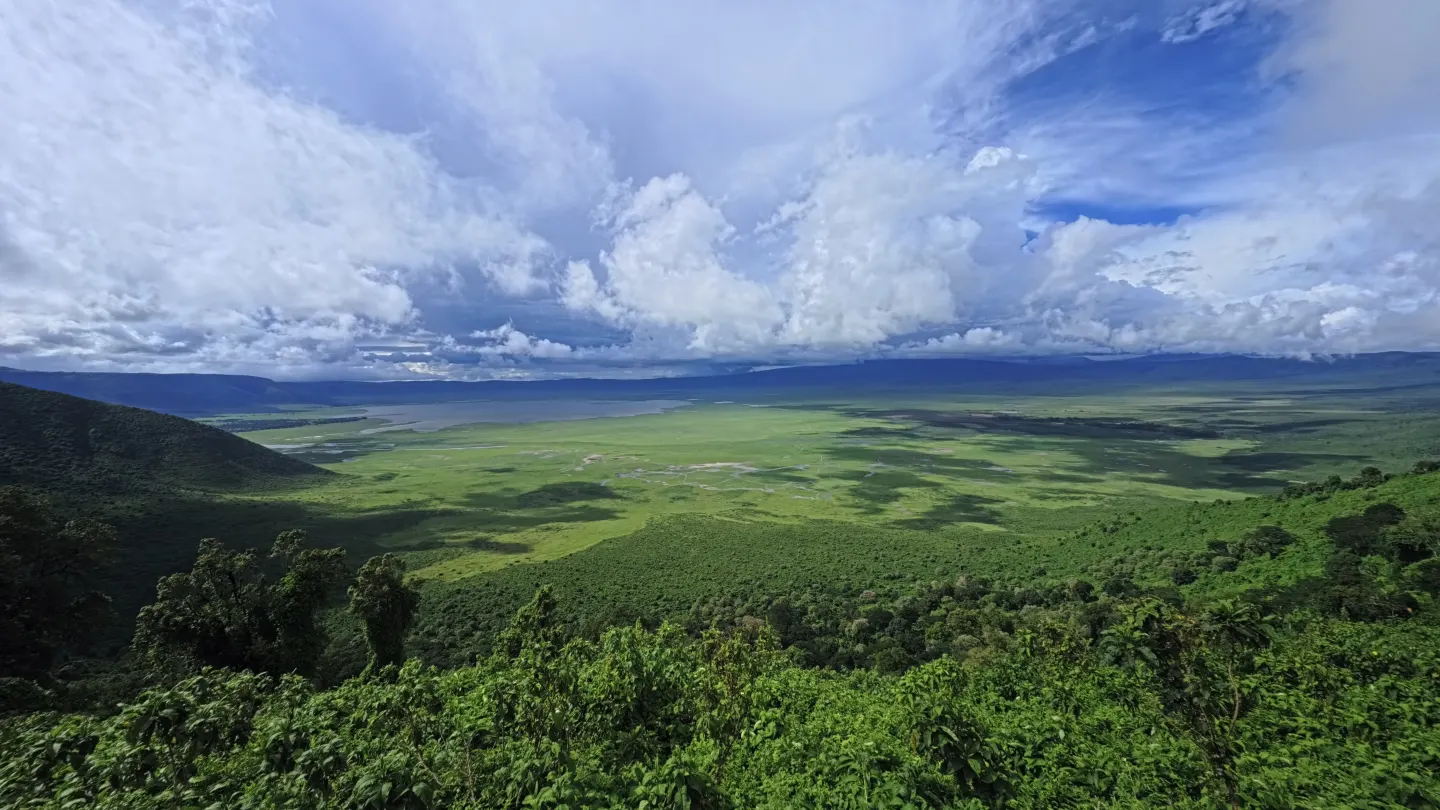
| Ngorongoro | Crater visits can be arranged through the year, but rain, road condition, visibility, vehicle availability, crowding, and current NCAA procedures affect the actual day. Avoid making a wildlife guarantee from a seasonal label. | One properly arranged crater day, with an additional day if the wider conservation area or transfer from Serengeti is part of the trip. | Licensed operator with a suitable 4x4 and guide for the crater floor; Prearranged road transfer from Karatu, the rim, or Arusha; Separately guided activities elsewhere in the conservation area where permitted | High | Easy-moderate | Vehicle congestion and wildlife proximity, steep access roads, changing weather on the highland rim, and missed permit or descent windows |
|---|
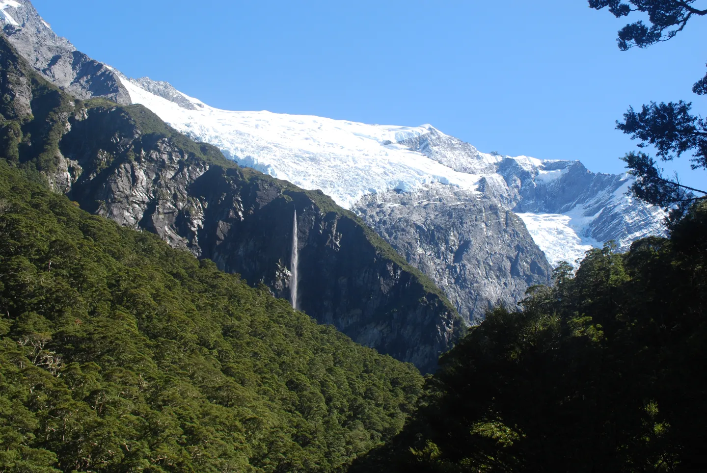
| Mount Aspiring | Warmer months generally make first-visit valley walks more approachable, but rain, road fords, alpine weather, track alerts and avalanche exposure must be checked for the specific route and date. | One deliberate valley walk plus an access or weather margin; multi-day hut routes need their own itinerary | Self-drive or arranged transport to a named valley and trailhead; DOC hut and campsite booking when the chosen route requires it; Route-specific backcountry transport for multi-day tramping | Moderate | Moderate-high | Flooded road fords, swift rivers, steep drops, rapid alpine weather and avalanche paths on some tracks |
|---|
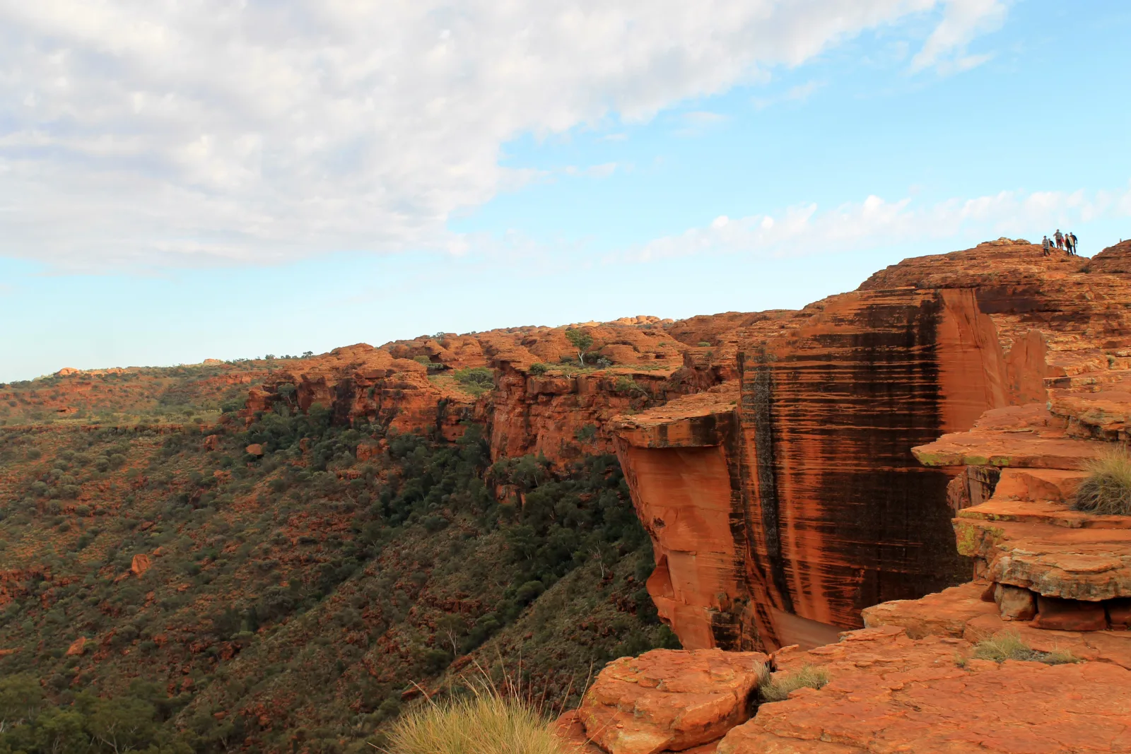
| Watarrka | The cooler April–September period is generally more comfortable for walking. Watarrka operates year-round, but heat management, forecast-based start restrictions and rain-sensitive roads can change a specific day. | One early walk day plus road travel; overnight near the canyon if the approach would otherwise force a late or hot start | Self-drive on the sealed approach after a road-condition check; Operator-led trip with a dated Kings Canyon walk and return plan; Separate 4WD and Mereenie Loop Pass planning for the unsealed western approach | Moderate | Moderate-high | Heat, dehydration, a steep Rim Walk ascent, cliff edges and remote road conditions |
|---|
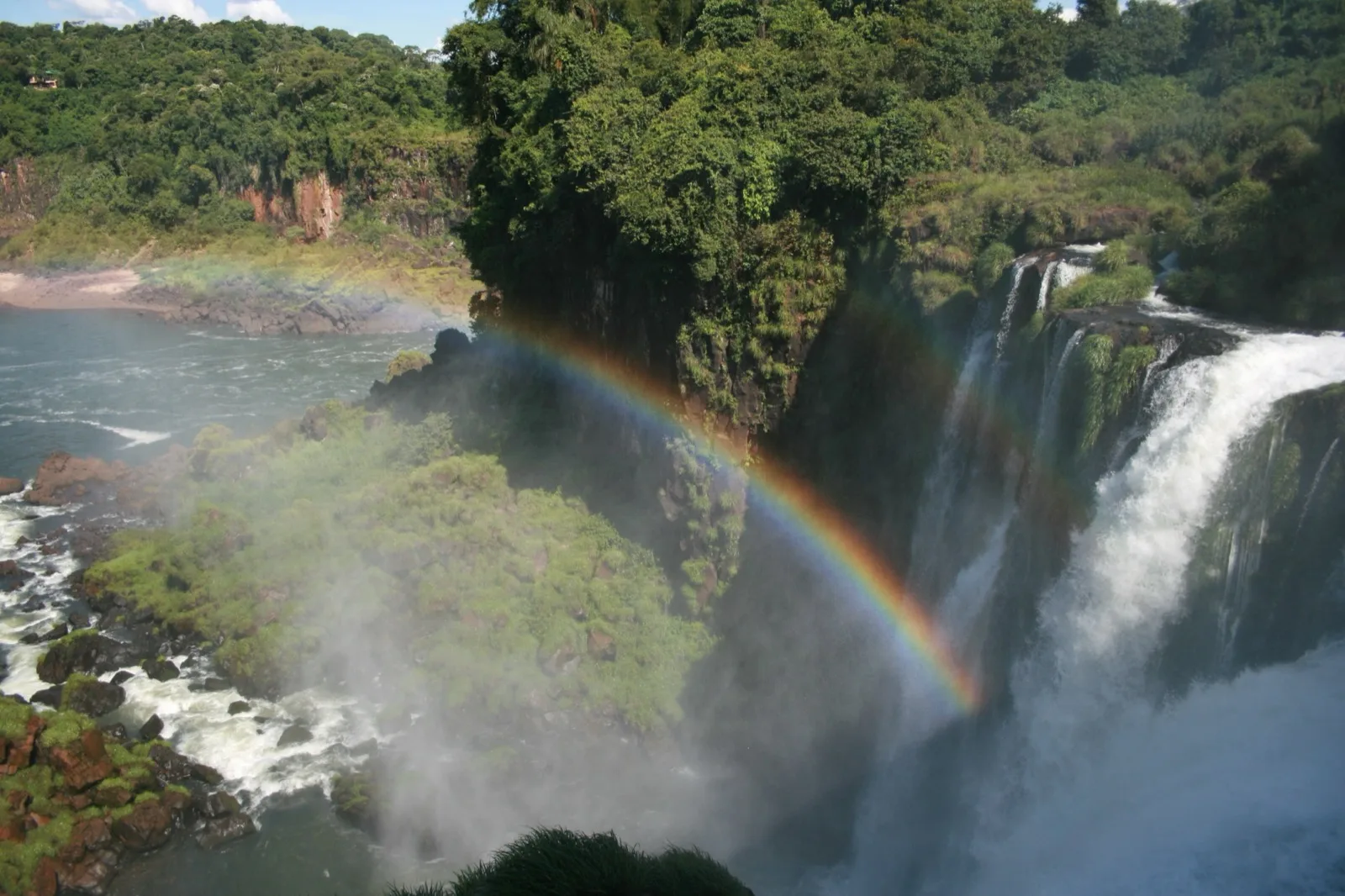
| Iguazú / Iguaçu | Both parks are visitable year-round, but rainfall, water level, heat, storm damage and temporary walkway or train changes affect the actual route. Recheck each authority before travel. | One full day for the Argentine circuits; a separate half to full day for the Brazilian side, with border time added if crossing | Local bus, taxi or arranged transfer from Puerto Iguazú to the Argentine entrance; Dated transport from Foz do Iguaçu to the Brazilian visitor centre; Separate border transfer and document check for a two-country trip | Moderate | Moderate | Wet walkways, heat and humidity, changing river conditions, wildlife around food, and a time-sensitive international crossing |
|---|
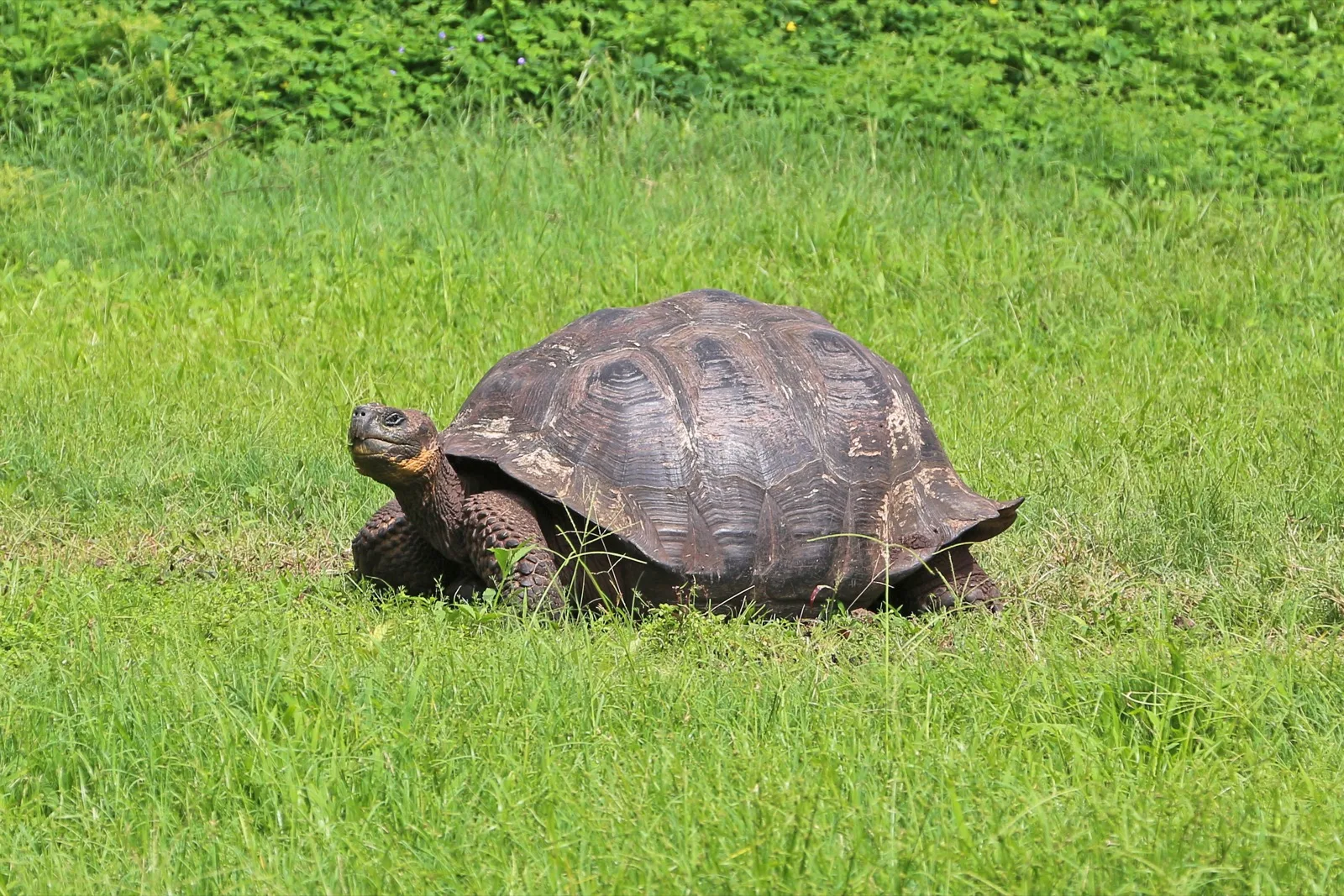
| Galápagos | Galápagos can be visited throughout the year; warm/wet and cool/garúa periods change sea conditions, visibility and wildlife behavior. Choose dates by the specific site and activity, not a guaranteed species sighting. | Several complete island days, with a separate transit day for each meaningful base change; a vessel itinerary depends on its approved site sequence | Land-based stay on a named inhabited island plus approved day trips; Licensed small-vessel itinerary with authorized sites and naturalist guidance; Passenger launch between inhabited islands where the dated timetable and sea conditions fit | High | Moderate | Sea conditions, sun exposure, wildlife proximity, biosecurity lapses and misread site or vessel permissions |
|---|
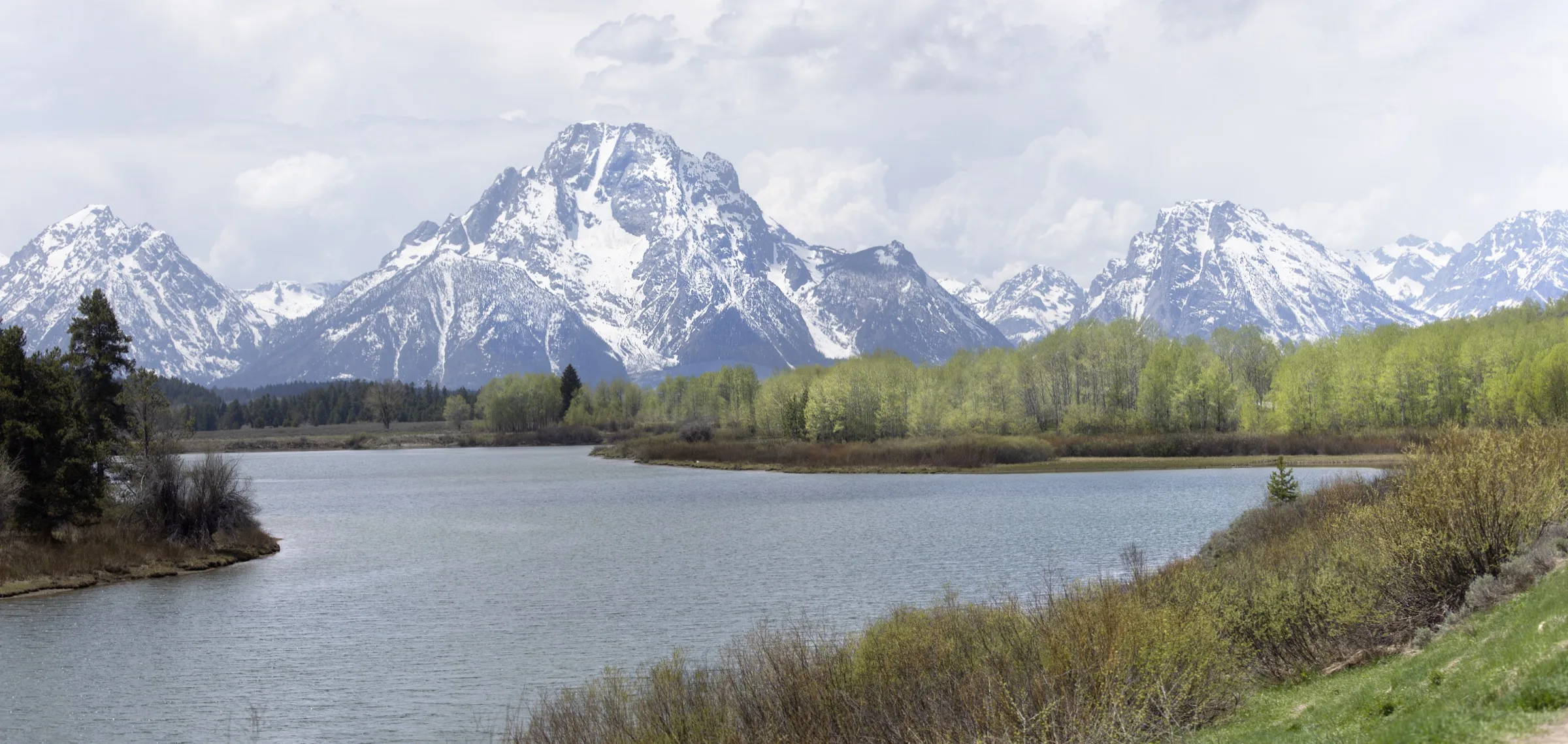
| Grand Teton | Choose the landscape and activity first, then check the NPS road, trail, weather, and visitor-service pages for the travel date. Mountain conditions vary by elevation. | One focused park day can introduce the range; separate days make room for lake walking, valley scenery, and a northern park area without rushing. | Self-drive for separate valley, lake, and northern-park areas; Guided transport when the itinerary explicitly covers the chosen park area; Walking from a named trailhead after checking parking and current trail advice | High | Easy-moderate | Rapid mountain-weather changes, cold water, wildlife proximity, and overcommitting to a trail or long park transfer |
|---|
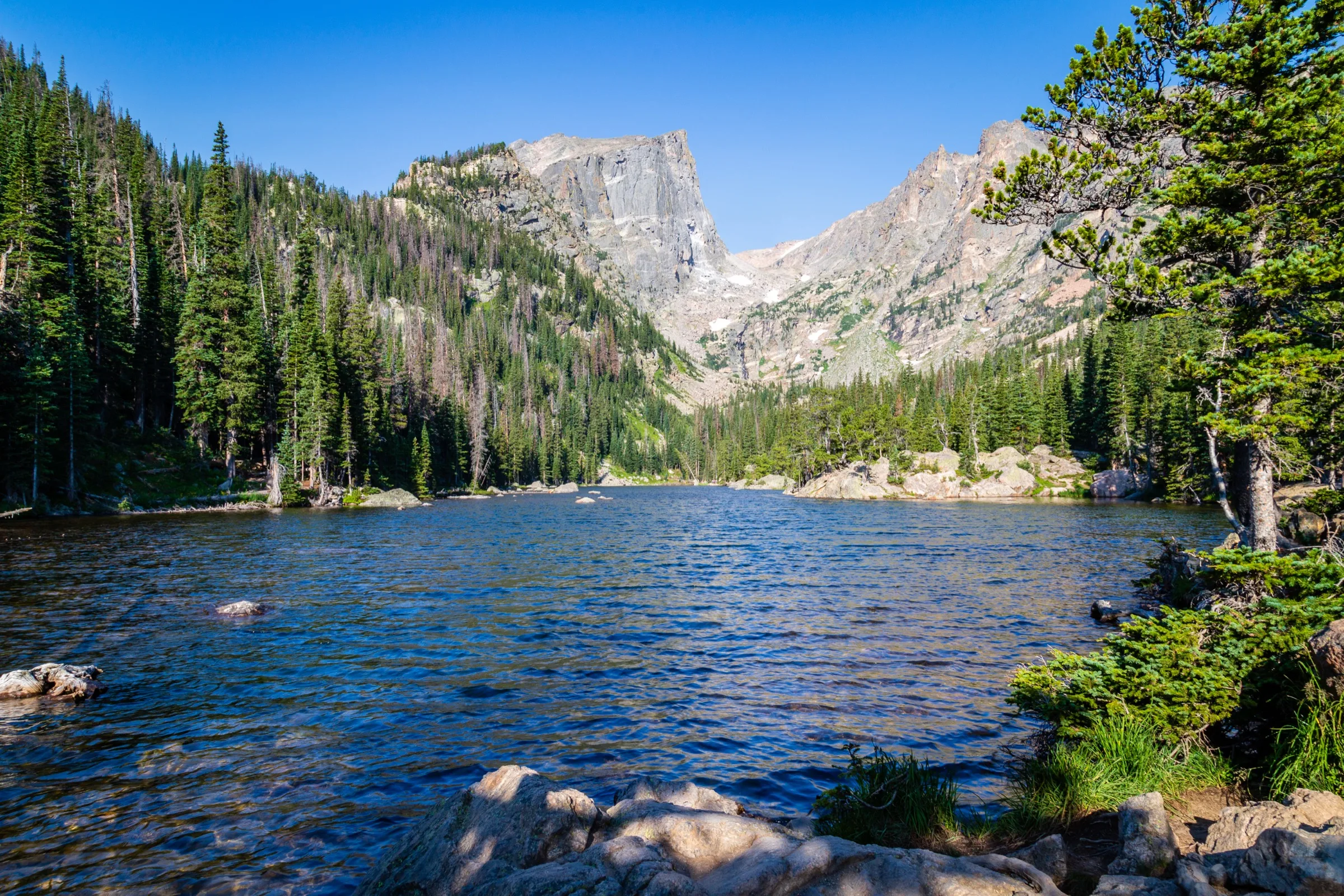
| Rocky Mountain | Select a corridor and activity, then use NPS timed-entry, road, shuttle, trail, and weather pages for the travel date. Do not infer access from a season label. | One focused corridor day is a workable introduction; separate days let a visitor experience the east side and a road or west-side landscape without stacking them. | Self-drive for road and west-side choices; Park shuttle or verified public transport where the selected corridor and date support it; Walking from a named trailhead after checking access and return | High | Moderate | Altitude, exposed mountain weather, road closures, and missed corridor-specific entry planning |
|---|